
NAPATREE POINT BEACH WESTERLY RI
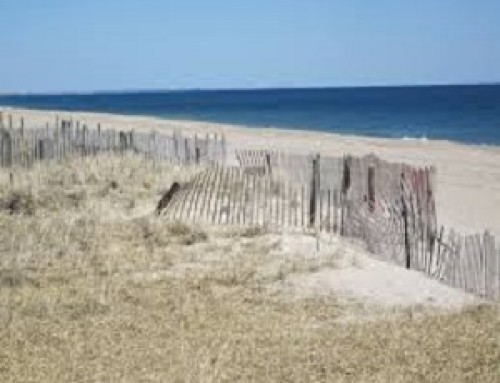
Napatree Point in Rhode Island, often referred to simply as Napatree, is a long sandy spit created by a geologic process called longshore drift. Up until the Hurricane of 1938, Napatree was sickle-shaped and included a 1.5-mile (2.4 km) long northern extension called Sandy Point. Napatree now extends 1.5 miles (2.4 km) westward from the business district of Watch Hill, a village in Westerly, Rhode Island forming a protected harbor. It is the southernmost and westernmost point of mainland Rhode Island.
Napatree Point is now a wildlife preserve and a popular public beach protected by the Watch Hill Conservancy and Fire District, which have hired wardens to protect the area’s wildlife and habitat. These wardens work with the U.S. Fish and Wildlife Service to protect the piping plover, a federally endangered species. Napatree is also home to deer, fox, ospreys and a resting area for migratory birds. Wikipedia
“I’ve been in Rhode Island a lot … Man, Rhode Island’s a good place. It’s a really good place.”

#NAPATREE


